Empowering businesses with cloud-native solutions, custom software, and 24/7 technical infrastructure support.

High-accuracy photogrammetry and DGPS mapping solutions for mining, agriculture, and urban planning.
Successfully reached across diverse global industries.
Our mission is to provide scalable IT solutions, from cloud computing to custom software development. By leveraging cutting-edge technology and agile methodologies, we ensure your business stays ahead in a rapidly evolving digital landscape.
Skynet24 is a technology-driven company dedicated to providing innovative digital solutions and advanced technology services. Our mission is to help businesses, organizations, and government sectors grow through reliable IT services, drone technology, GIS solutions, and multimedia services.
At Skynet24, we combine modern technology with professional expertise to deliver high-quality results. Our team works with a strong focus on efficiency, accuracy, and innovation, ensuring that every project meets the highest standards.
We specialize in multiple technology domains including IT development, geospatial mapping, aerial drone services, and digital media production. By integrating these services, we provide complete solutions that support data-driven decision-making and digital transformation.


We strive to develop real-world web solutions that are ideal for small to large projects with bespoke your custom project requirements.
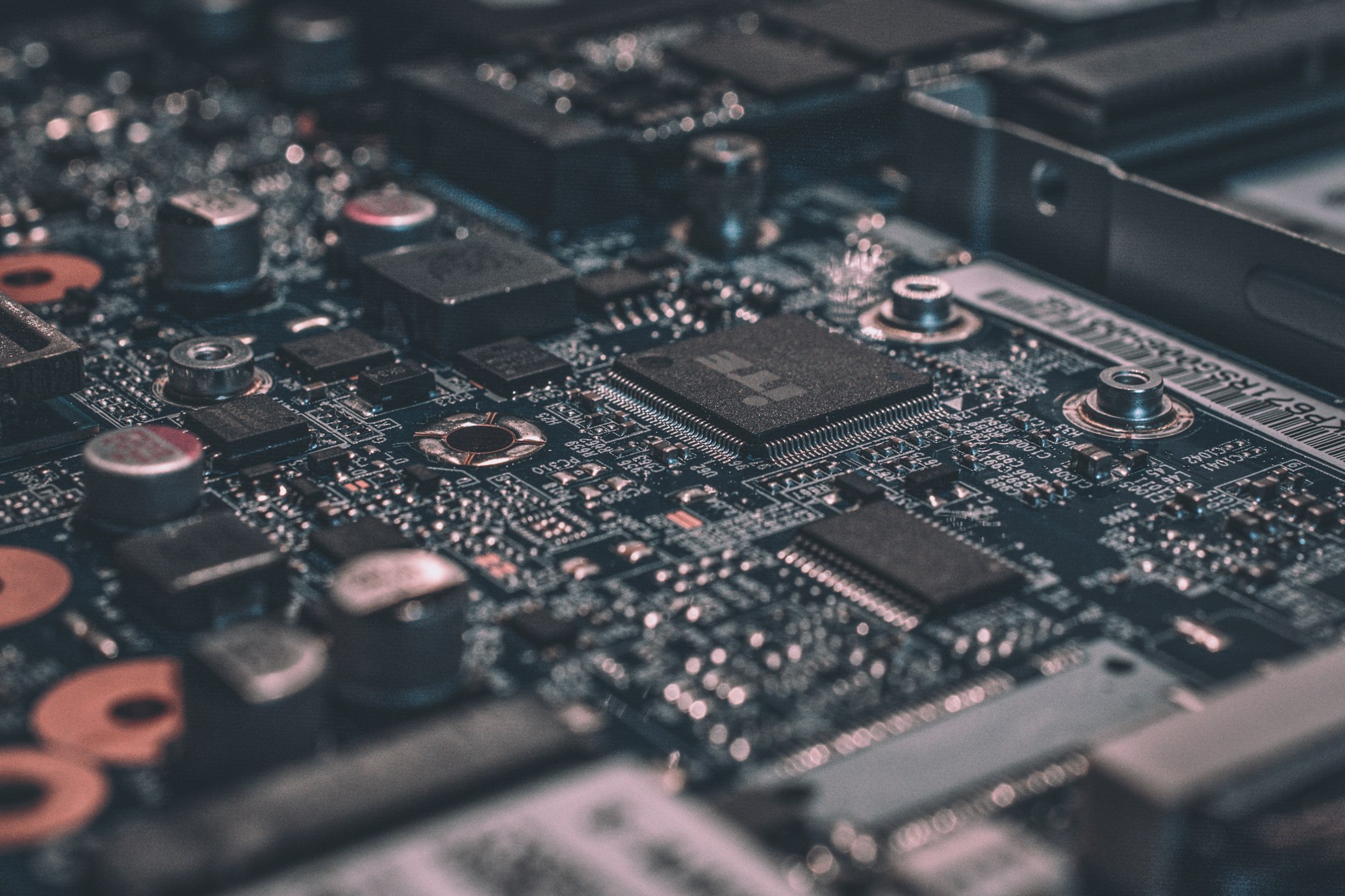
 IT Technology
Modern IT infrastructure and software development solutions to digitize your enterprise workflow.
 GIS Services
Specialized geospatial mapping, land record digitization, and WebGIS portal development.
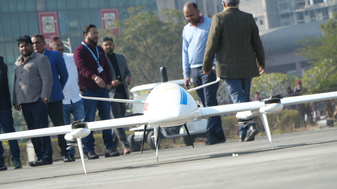
 Drone Services
Professional UAV surveys, aerial mapping, and mining lease boundary verification via VTOL drones.
 Multimedia
Creative digital content production, 3D visualization, and professional branding for your business identity.
GIS & Drone
Precision drone mapping and riverbed volumetric analysis.
Projects Delivered Successfully
Expert IT Professionals
Client Retention Rate
Dedicated Technical Support


Our advanced drone technology provides high-precision aerial surveillance, mapping, monitoring, and inspection services. With real-time data collection and intelligent analytics, drones help businesses improve efficiency, safety, and decision-making in industries like agriculture, infrastructure, security, and environmental monitoring.